
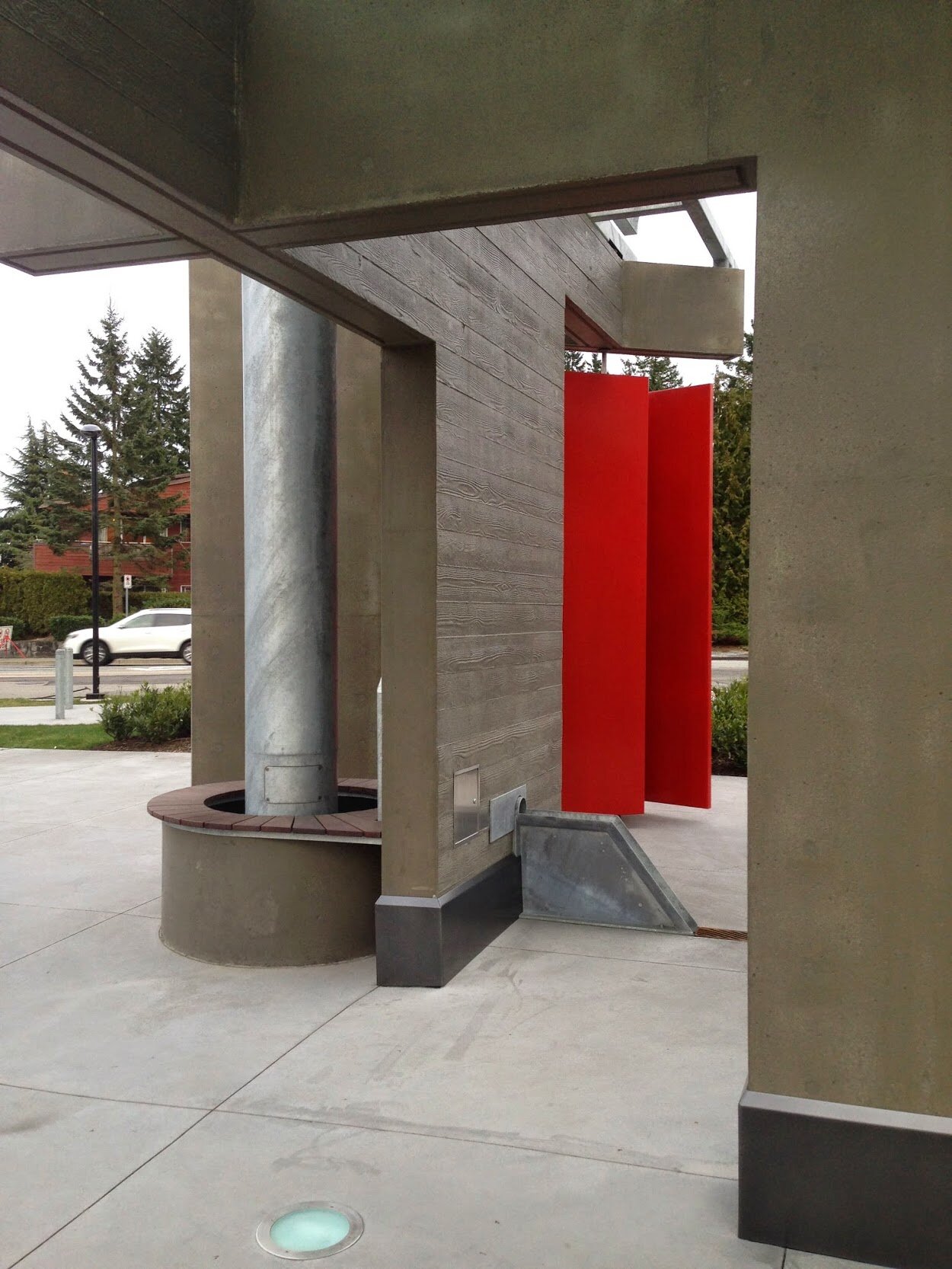
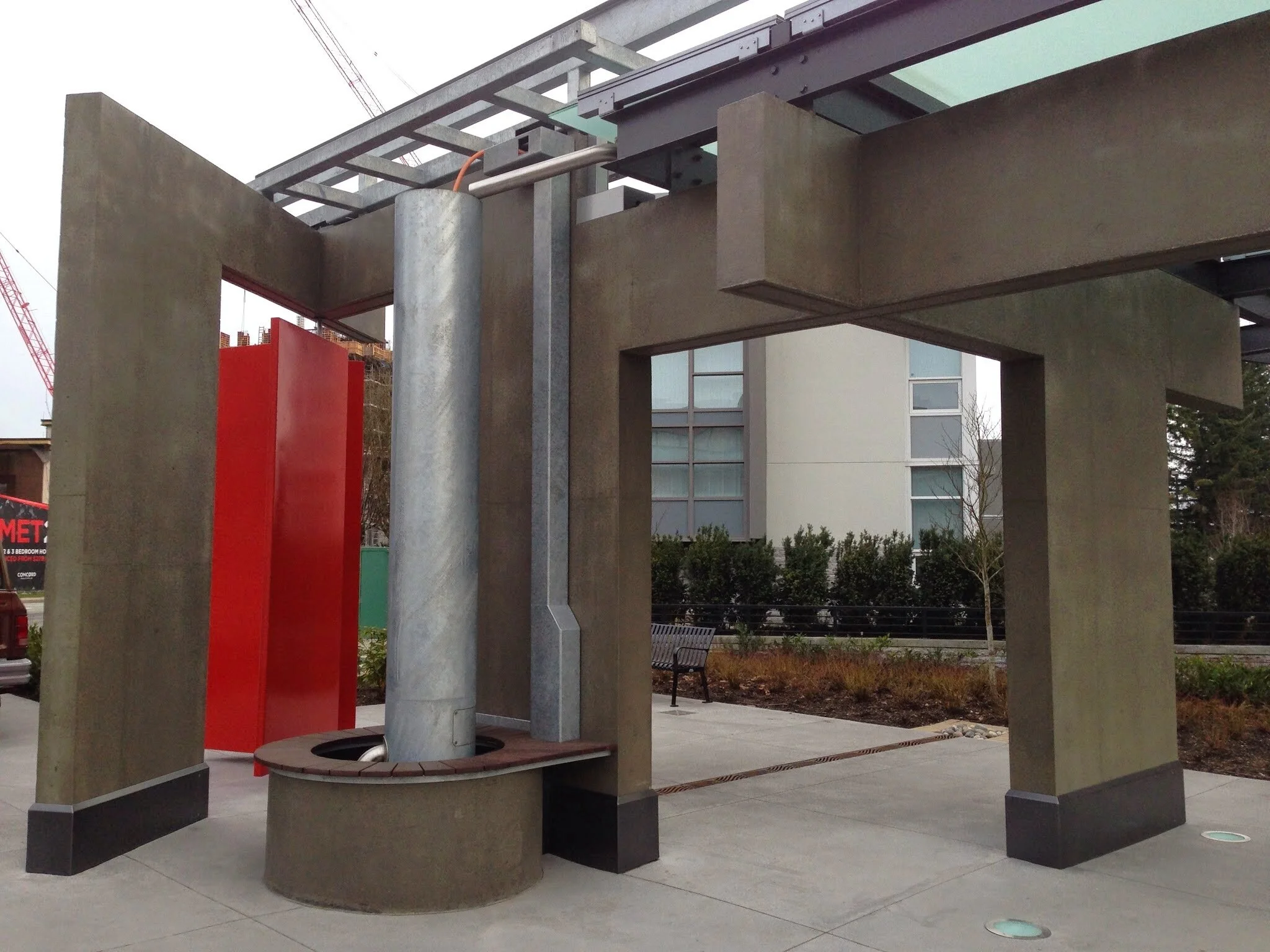
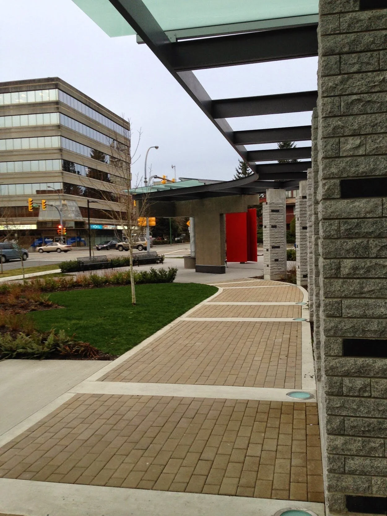
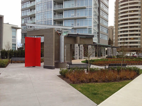
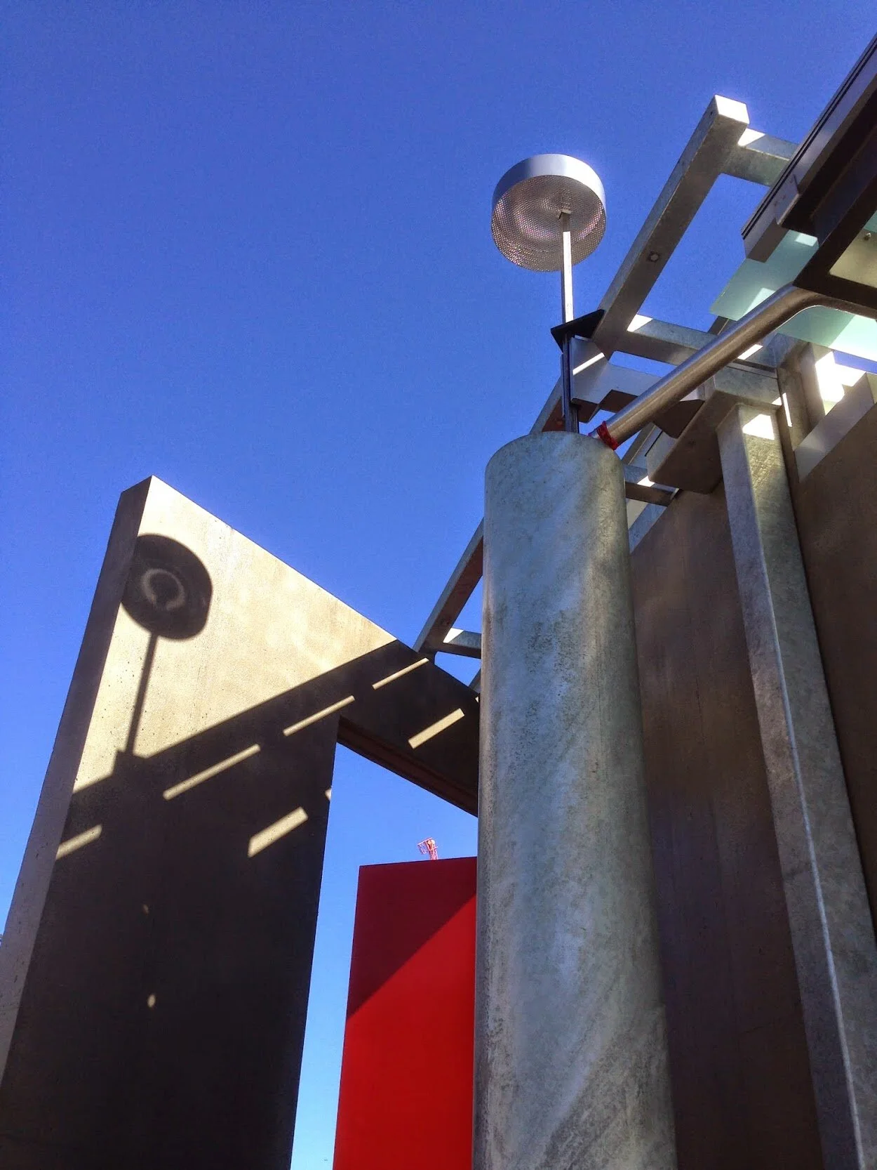
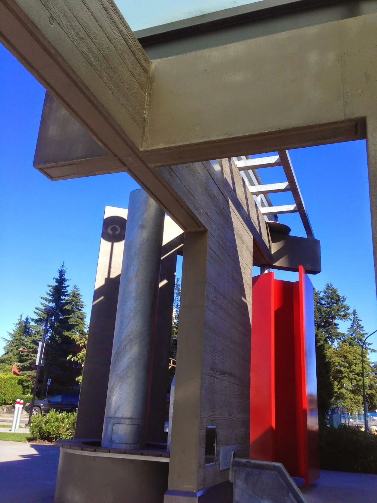
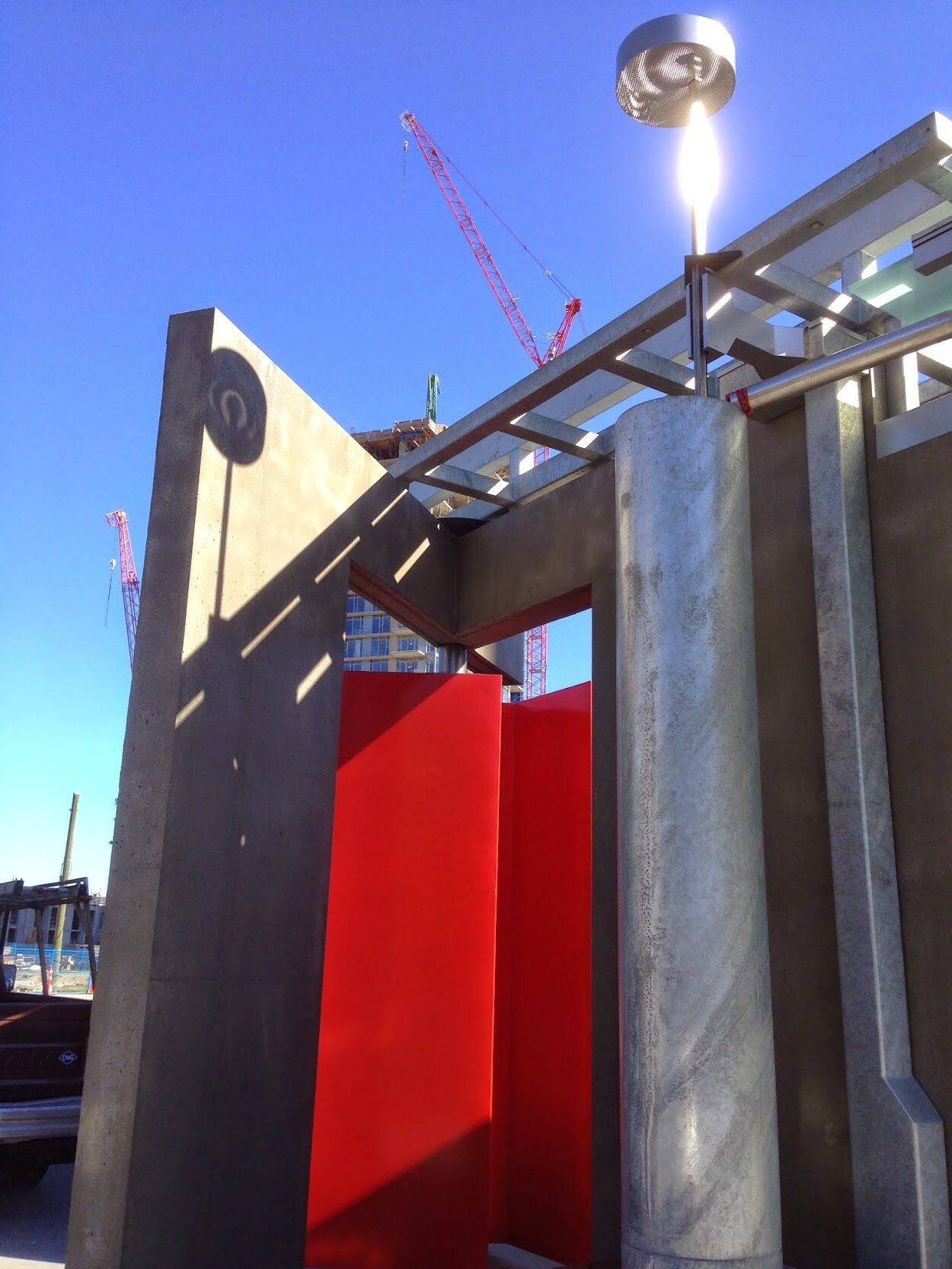
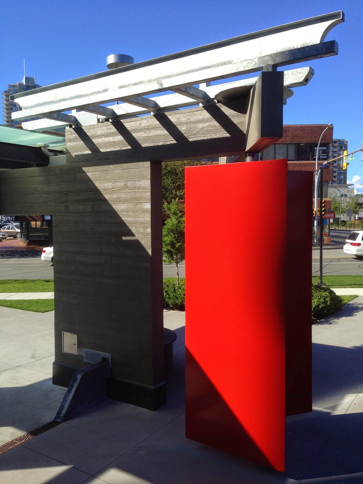
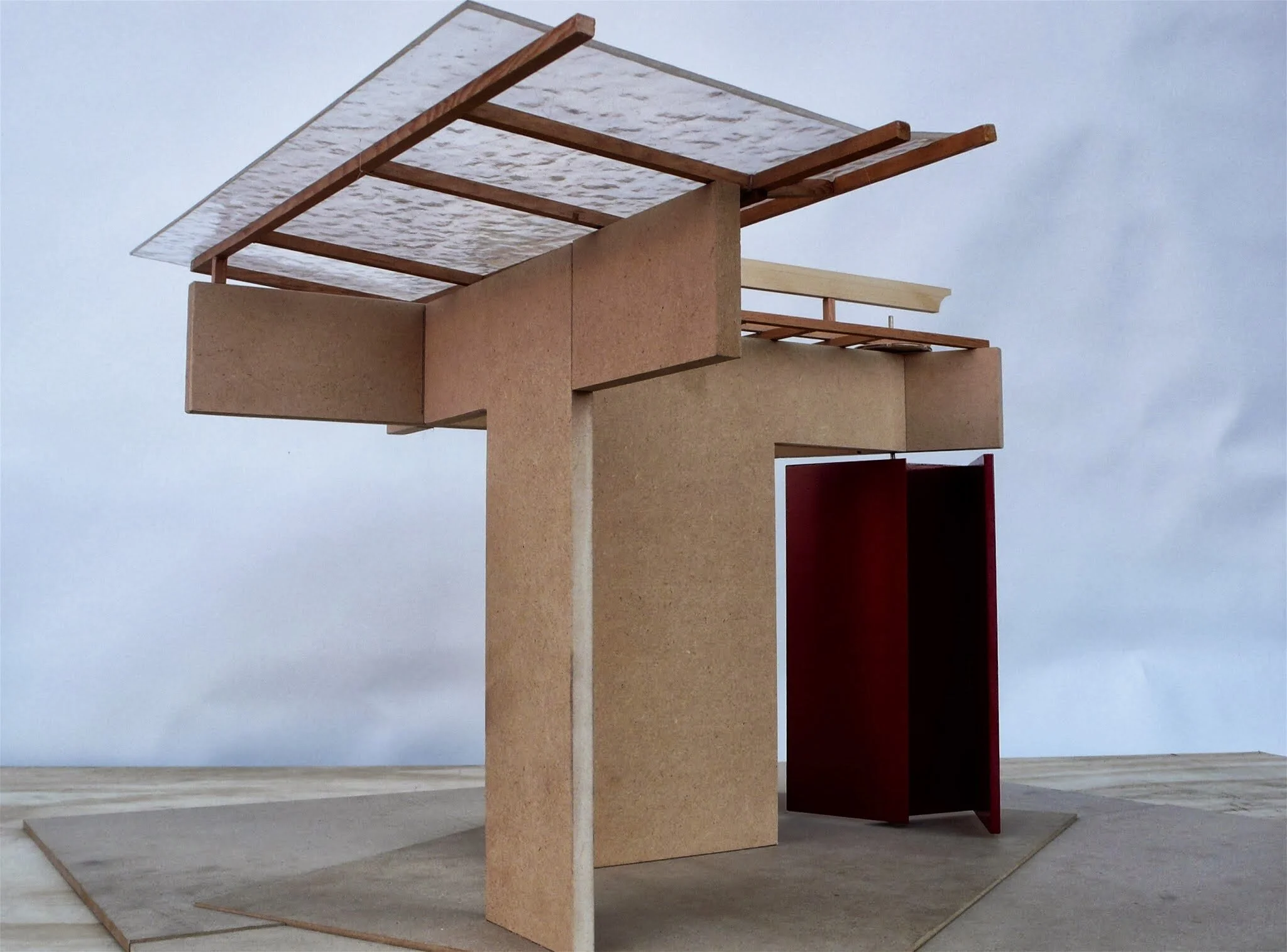
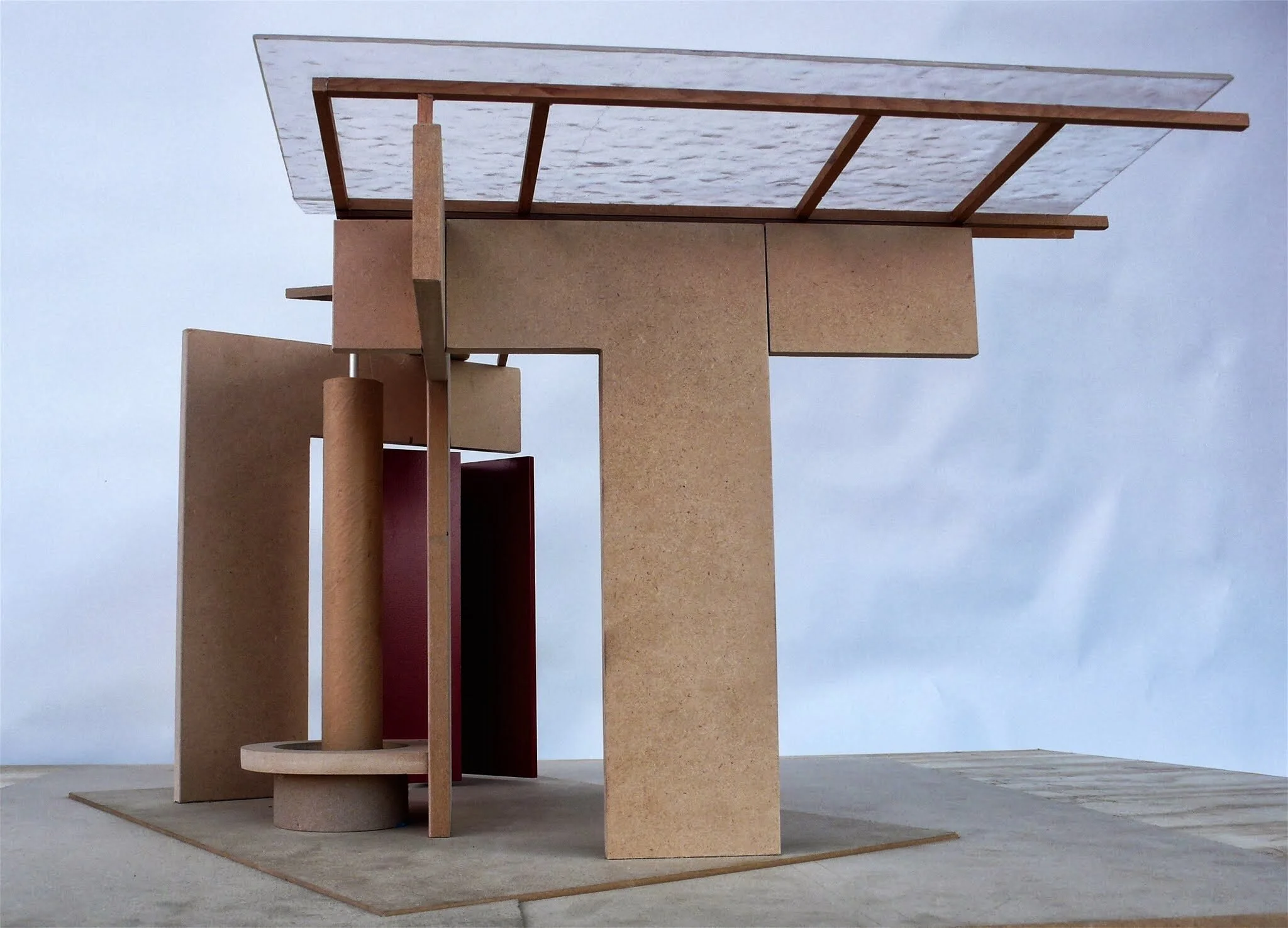
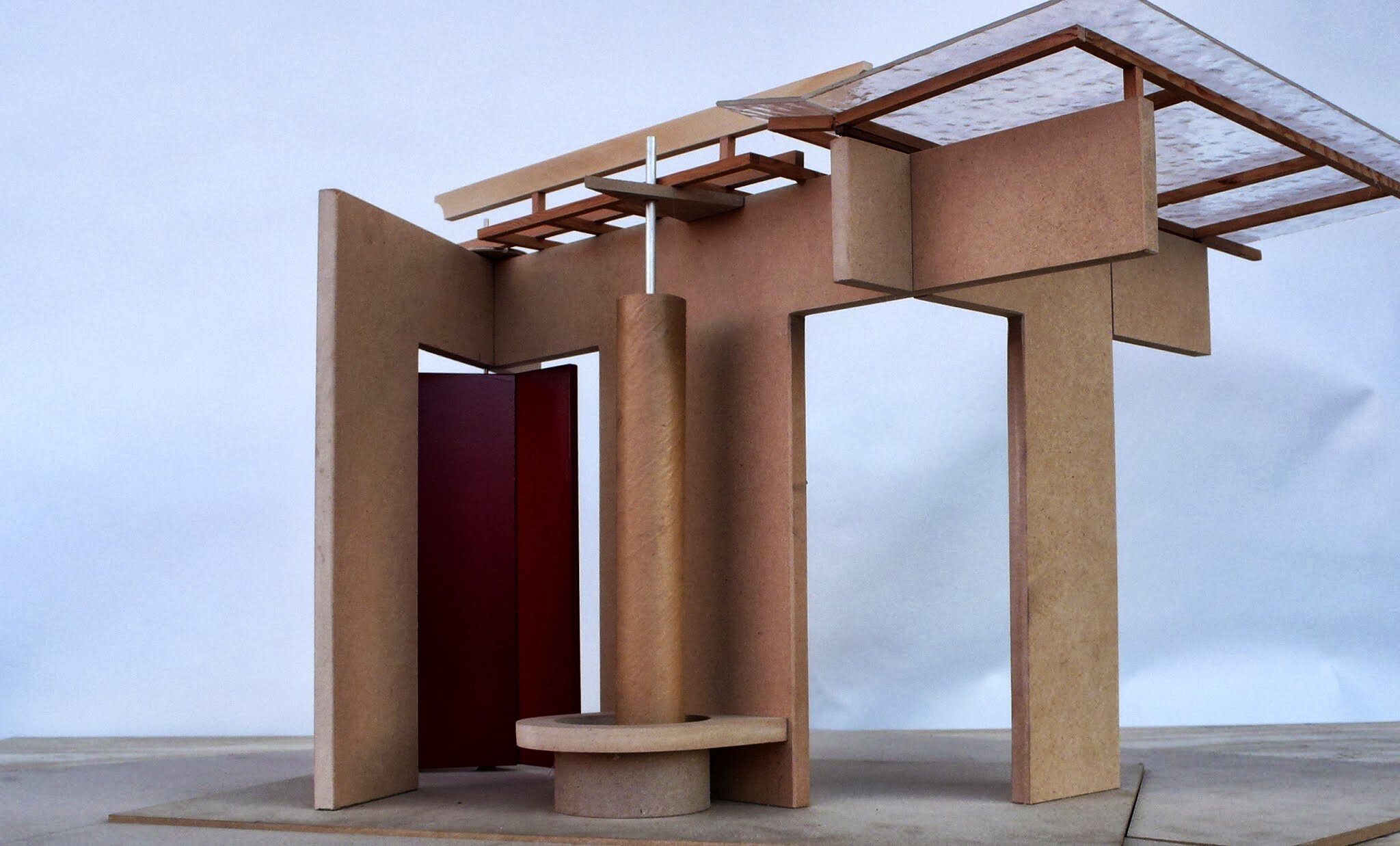
Cross Roads
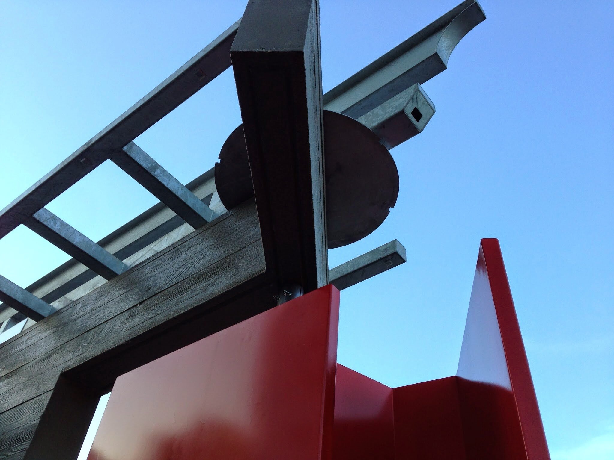
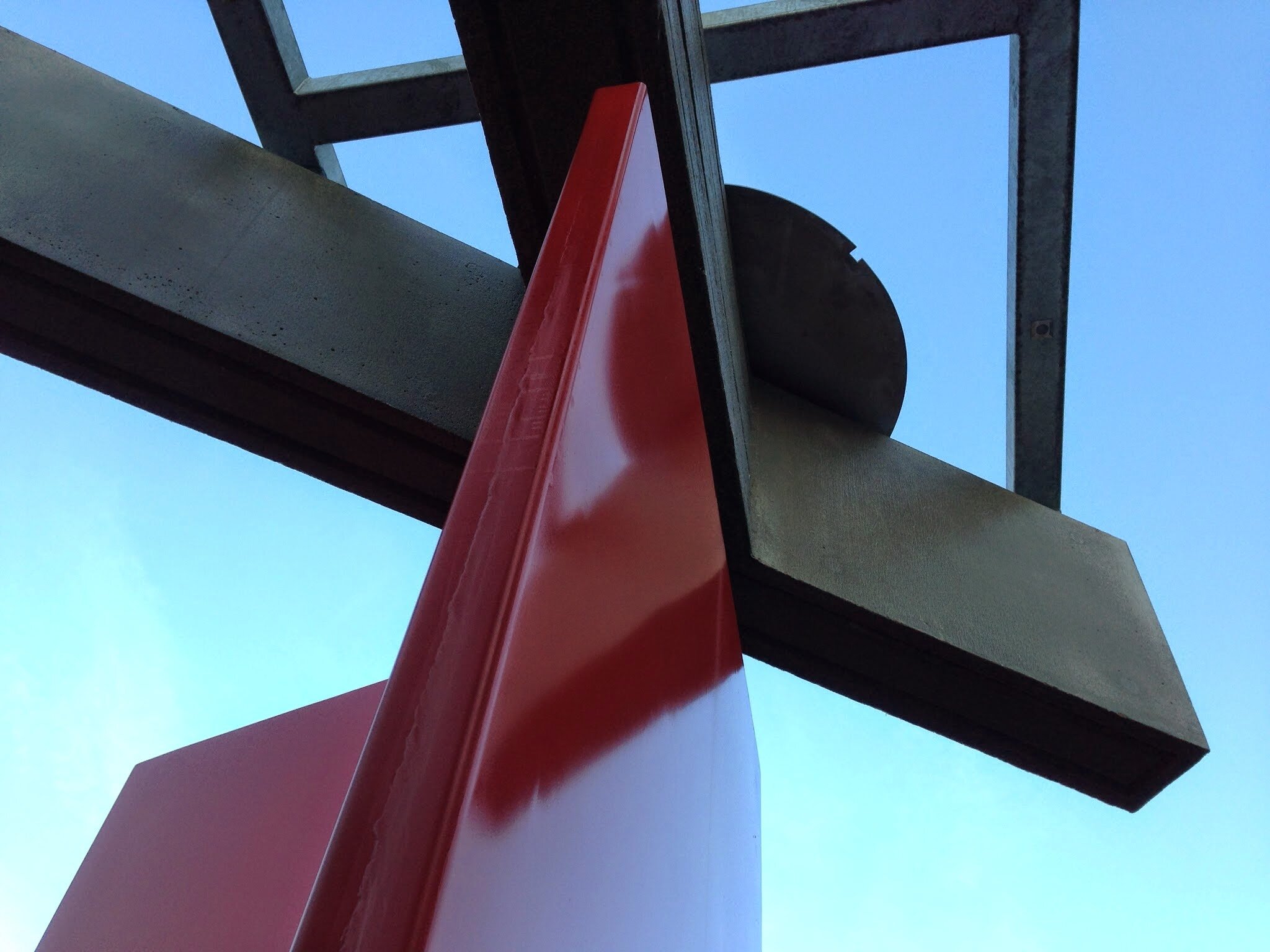
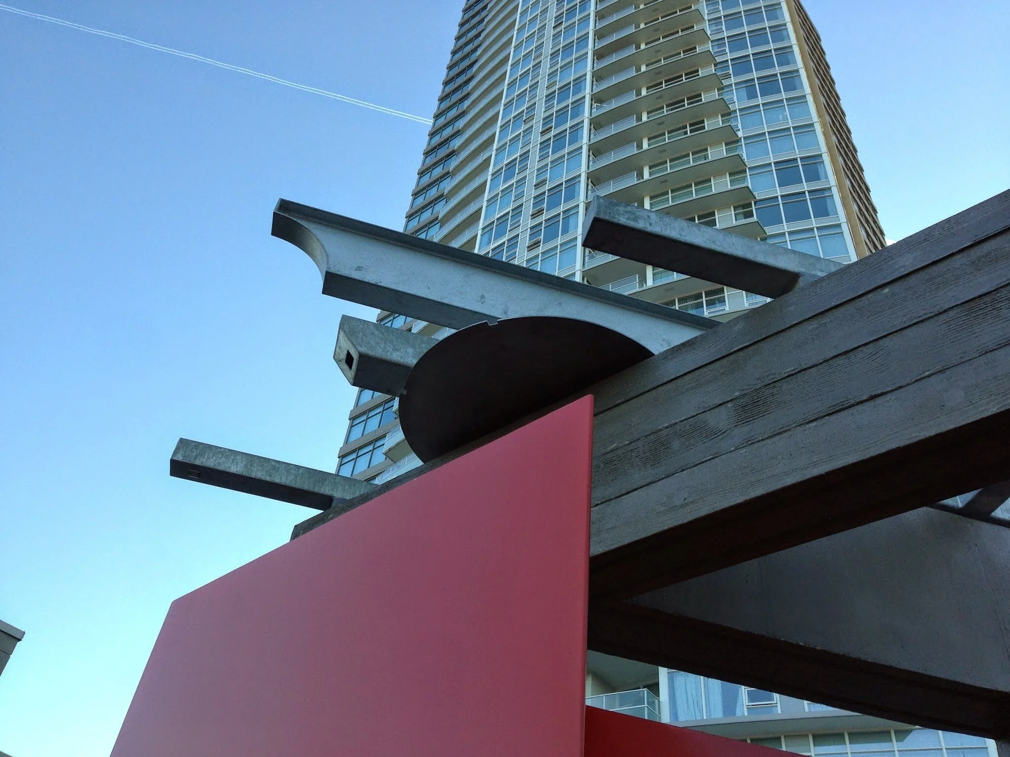
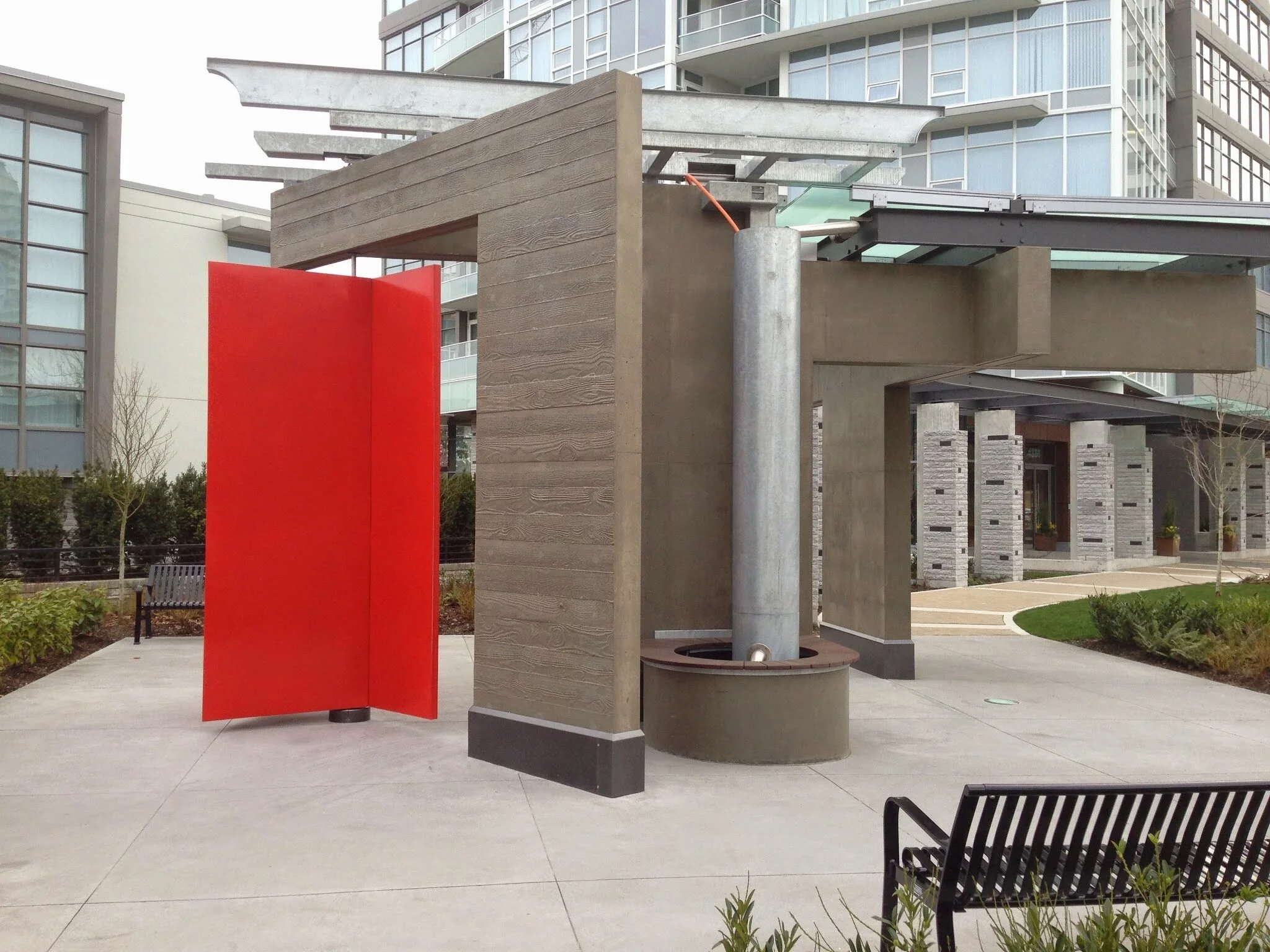
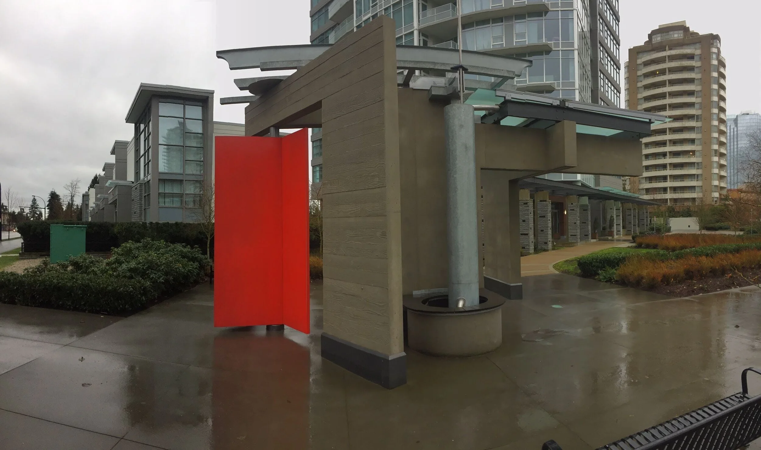
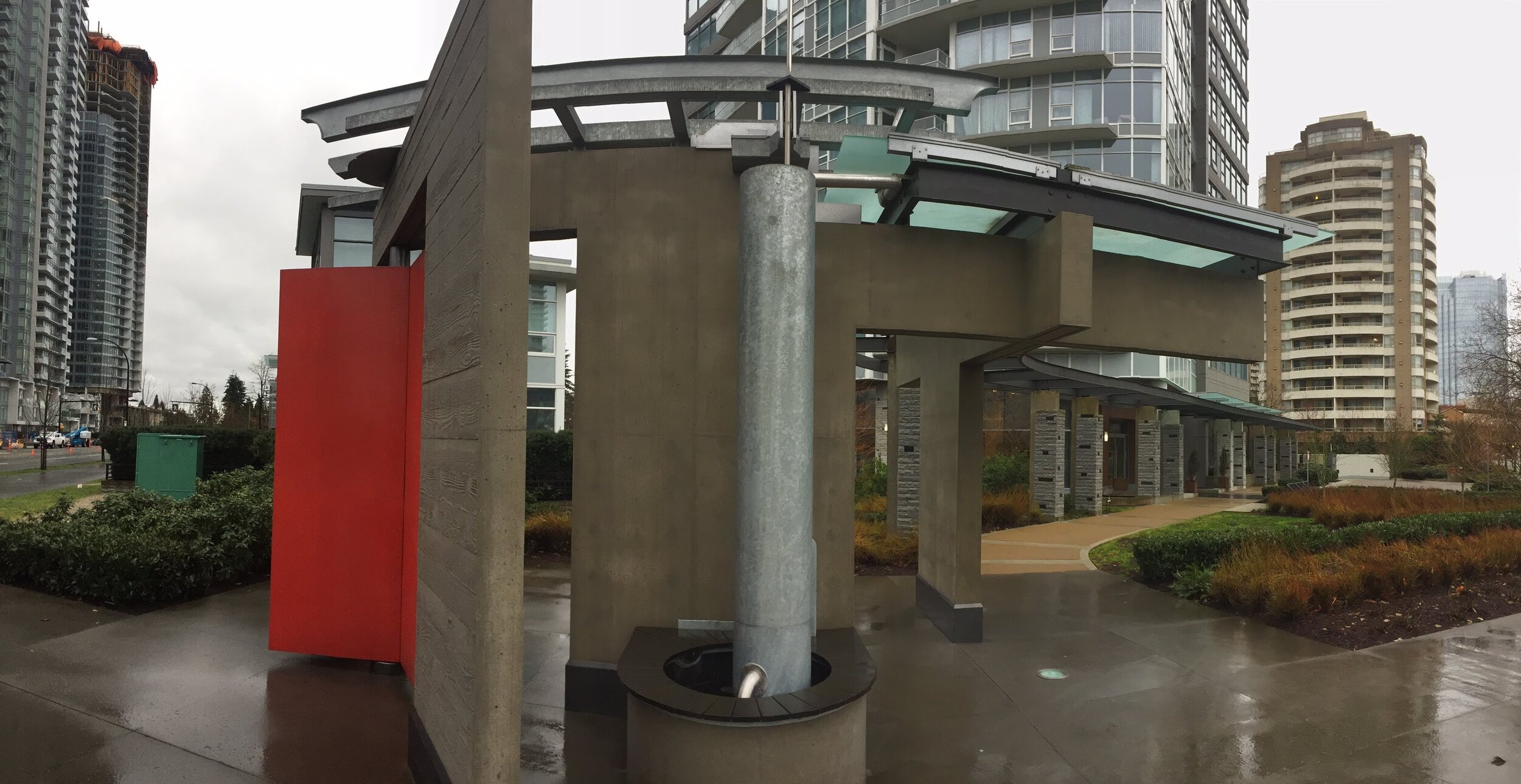
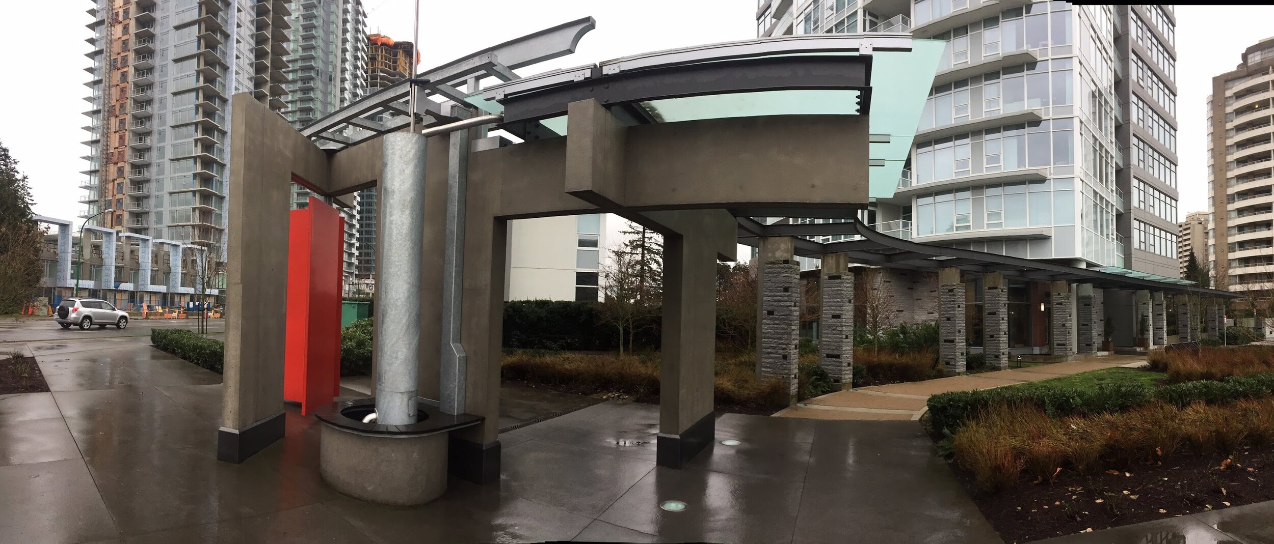
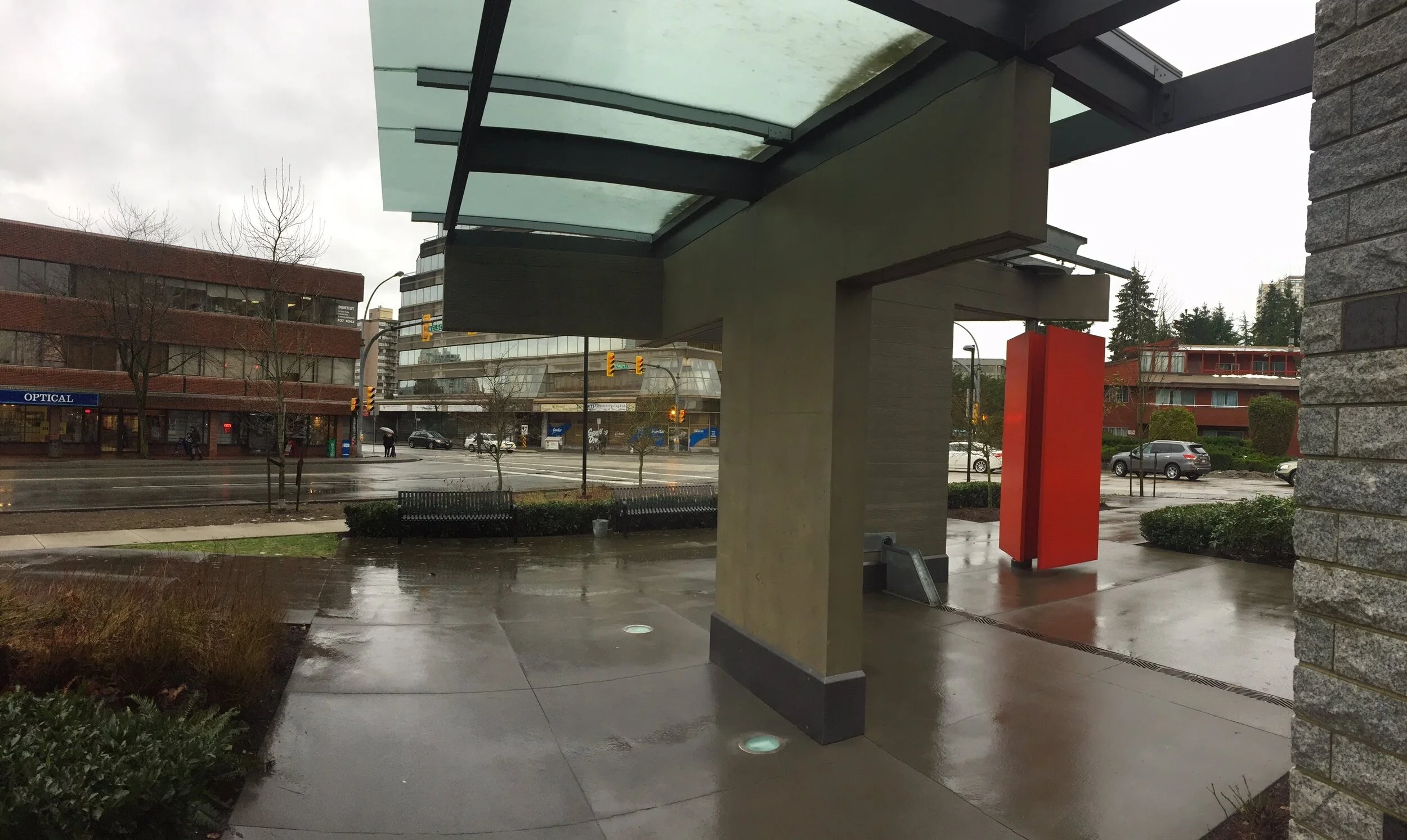
Research in the Vancouver and Burnaby Archives turned up several maps and images of the location for this site specific artwork. I found two separate maps of the roads that depicted a structural change in a diagonal shift of the alignment with Kingsway. Before 1925, the roads had been established in a north/south grid, built up with small bungalows. In 1925, the entire neighbourhood was torn down and the planning department shifted the road grid 30 degrees, to realign perpendicular to Kingsway. New houses were then rebuilt. The corner lot, where this artwork sits, is the intersection of two the houses, offset by 30 degrees. The concrete walls are parts of the two houses and the large red door(s) are exactly in the historical location of the front doors of each of the structures. A mechanical movement of the door occurs when the main cylinder in the work fills with rain water from the building roofs. A trigger mechanism sets off a flushing purge of the water into the pool, and in turn causes a doorbell to ring, and the door to shift its position by 30 degrees realigning itself with the various architectural elements of the structure. The action happens randomly depending on water flow and rainfall.